
North Andover Neighbors Around One Block
A useful block check starts with a target parcel and expands only to nearby parcels. MapGeo supplies the spatial view. The assessor card supplies the town's property record. Registry deeds explain recorded transfers. The annual register and historic sources add limited, dated context. None of them is a complete roll of the people who live nearby. Owner, mailing contact, voter, permit applicant, and historic occupant are separate record roles.
| Block source | What it can show | Access path |
|---|---|---|
| North Andover MapGeo | Adjacent geometry, parcel IDs, addresses, enabled layers, and property-panel details | Free map; parcel-by-parcel review |
| Patriot Properties WebPro | Owner, mailing address, values, use, sale data, and parcel card | Free public property card |
| Northern Essex deeds | Recorded ownership transfers, parties, legal descriptions, and plans | Online registry search and document images |
| Annual register | Public name and residence information subject to protected omissions | Town Clerk inspection procedure |
| House guides and archives | Past occupants, historic streets, obituaries, cemetery, and architectural leads | State Library and Historical Society inquiry |
A parcel owner may be a trust, corporation, estate, or person receiving tax mail elsewhere. That does not identify the current household. Likewise, an old house guide can establish that a listed person was associated with an address in a particular year, but it cannot establish who lives there now. The right result for North Andover neighbors is often a careful record trail, not a household list.
Map North Andover Neighbors Parcel by Parcel
The North Andover MapGeo viewer is the starting point for the immediate block. Its value is spatial. Search the target address, select the parcel, inspect its information panel, then pan or zoom to polygons that share a boundary or face the same street. Do not turn a broad area into a person search. Capture the record date as well as the parcel facts.
- Enter the address, select the matching parcel, and confirm the situs, parcel ID, and map location.
- Inspect the parcel panel, then pan or zoom to each adjoining or facing parcel and select it individually.
- For each result, note parcel ID, address, owner mailing record, land use, and the displayed source or assessment date.
- Use MapGeo related items for a condominium or linked property record where that control appears.
- If the local configuration exposes spatial filters, draw only the small block or buffer needed. If it does not, use manual parcel clicks.
- Check each important result against WebPro and the Registry before relying on it.
MapGeo warns that its information may not be current and may include third-party compiled material. The town's certified-abutters page is also not a current-ownership shortcut: its displayed certification date is July 2019. It describes tax-list parties of interest and mailing data, so confirm a present parcel record rather than treating an old certificate as the block today.
North Andover Parcel Records Need Roles
After mapping adjacent lots, use the North Andover WebPro property card to compare the assessor's current fiscal-year summary with the map panel. The card may show a parcel ID, situs, owner, owner mailing address, use code, area, values, sale information, sketch, or photo. It is an assessment record, not a deed abstract and not a resident list.
When the question is recorded ownership, use the Northern Essex Registry of Deeds for the transfer image. Record the grantor, grantee, date, document or book and page, consideration when given, and legal description. A deed party is not necessarily an occupant. For an entire named street, the separate North Andover Street Directory has the longer address-by-address workflow; this page stays with the parcels immediately surrounding one address.
| Record category | Best for | What it does not establish alone |
|---|---|---|
| Official parcel and assessor records | Lot location, taxable owner, mailing contact, and use | Every current person at the address |
| Recorded land documents | Transfers and the property's legal description | Current daily occupancy |
| Official election and civic sources | Limited public civic information and public contacts | A block-wide personal roster |
| Commercial compiled lookup category | Possible leads that require verification | Timely, complete, or authoritative identity |
Commercial compiled tools can combine stale public and private-source fragments. They may charge, have uncertain match quality, and offer privacy opt-outs. Official sources let a reader see the record type and date, which makes them a better fit for checking a parcel or a local history question.
North Andover Neighbors and Voter Registers
Massachusetts General Laws chapter 51, section 37 makes annual-register name and residence information available for public inspection, subject to the law's protection rules. That can be a dated civic record, not a block enumeration tool. The Secretary's online voter-status form asks for one person's first and last name, date of birth, residential ZIP, and an acknowledgment that it is for the individual voter. It has no street-browsing field.
For a current annual-register question, ask the North Andover Town Clerk about the inspection procedure. Do not infer that every mapped address has a registered voter, and do not use a single-person form repeatedly to build a list. Date of birth, identification information, ballot choices, and other protected election data are not block-search fields.
The Massachusetts protected-voter statute sets the public-register rule and the circumstances for omitting protected voters.
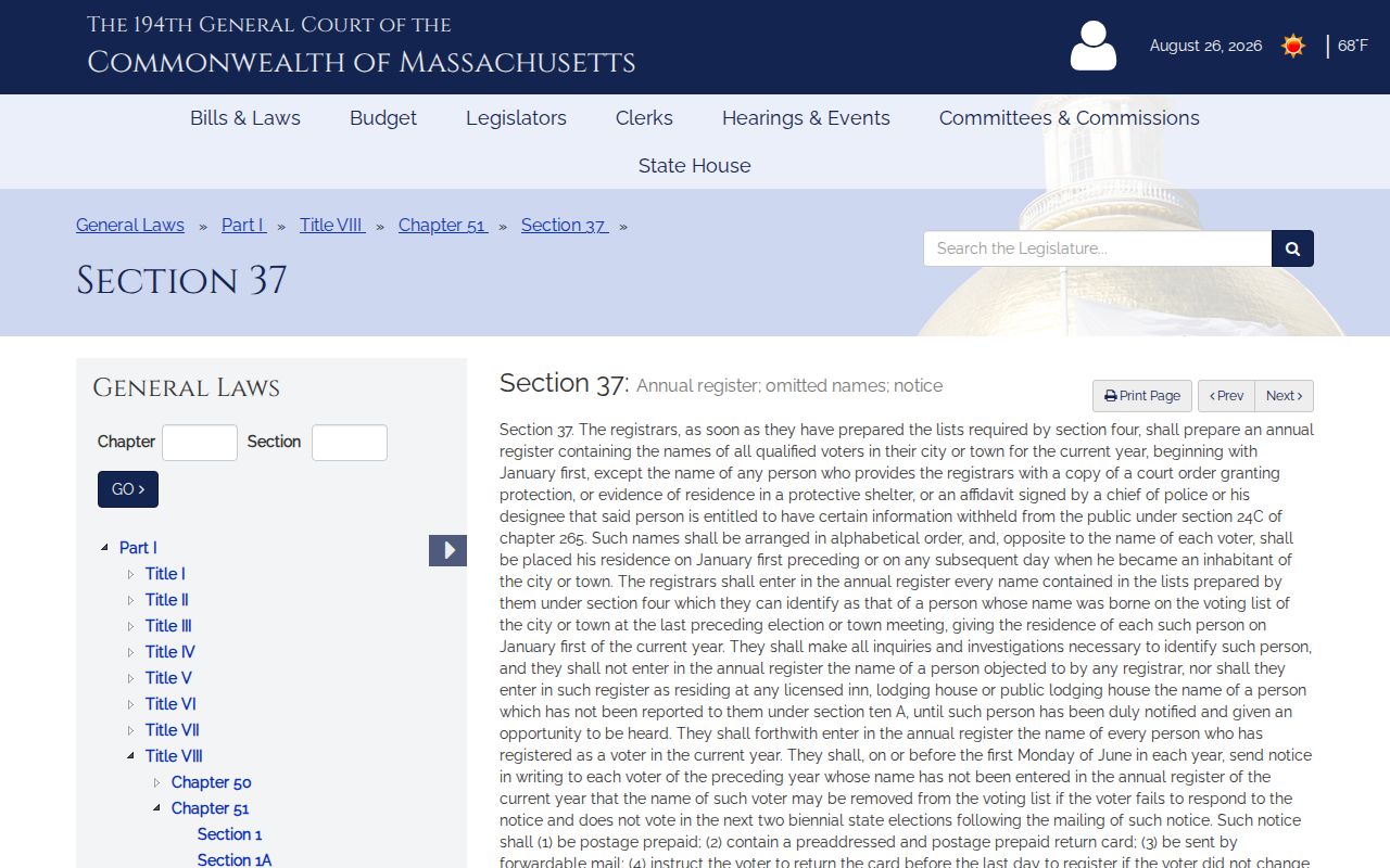
The statute is why an annual register cannot be described as a complete list of North Andover neighbors on a block.
North Andover Civic Resources by Block
No official source located a comprehensive North Andover neighborhood-association membership roster. The resources below can provide public institutional context or a route to an organization. They are not evidence that a named household belongs to a group, and a public meeting attendee or board member should not be assumed to live next door.
| Organization or place | Public contact or record path | Roster limit |
|---|---|---|
| Police Neighborhood Crime Watch | Town safety resource | Public information, no member roster |
| Neighborhood Conservation District Committee | Town board roster and meeting records | Public board contacts, not household directory |
| Old Center Historic District Commission | Town commission, map, and preservation materials | Preservation contacts, not resident list |
| North Andover Historical Society | Archive inquiry for street, cemetery, and architectural files | No open member roster located |
| Garden Club and condo associations | Organization or association-controlled contact path | Membership and unit details are private |
Condo and community associations are a separate layer from town parcel data. MapGeo can expose related units where the town enables that feature, but an association's contact structure and membership rules remain association-controlled. Public agendas, commission minutes, historic-district materials, and organization event pages can show institutional activity. They do not show who lives at every nearby address. When a public resource names a board or officer, read it as a civic role with its own date, not as a current-household finding.
North Andover Neighbors in Historic Districts
Geography can explain why a block needs more than a parcel card. Machine Shop Village includes the former mill setting around Main, Pleasant, Clarendon, Water, and Second Streets, with industrial and residential history. Old Center has preservation and archival context, including the Historical Society's Old Center Collection. For either area, use a plan, directory, historic map, or archive finding aid to date the context instead of treating it as evidence of a current household.
The North Andover Planning Department is a practical public starting point for zoning, subdivision, abutter, permit, and planning links.
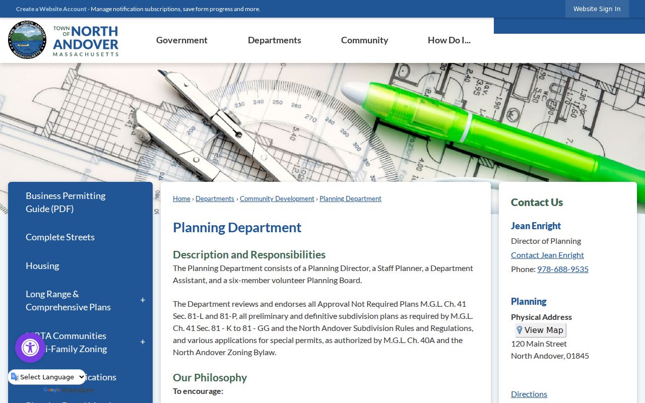
Planning material helps place a parcel within a district or subdivision. It does not establish who occupies a nearby home.
North Andover Neighbors in Earlier Records
For a historical block, use reverse house guides from selected 1928-1953 directories, then read the matching alphabetical entry and nearby census schedule. The State Library's selected voting lists can add dated eligible-voter evidence for 1924, 1940-42, 1946-59, 1961, 1966, 1978, and 1980. Those collections describe a past moment. They should not be blended into a present-day block identity.
The Historical Society's obituary index, cemetery records, church materials, people photographs, and street listings can help when a household trail ends. A cemetery or obituary is a family-history endpoint, not a current contact source. For a full address history, follow the deed and directory process on the Previous Residents page.
North Andover Privacy Limits by Block
Renters and other household members are not produced by a parcel map simply because they are present at an address. Utility customers, delivery information, DMV addresses, sealed or impounded matters, and many victim or employee address details are not public block data. A person missing from a property card may have no ownership connection at all. That is a privacy boundary, not an error to work around.
Massachusetts also has an Address Confidentiality Program for survivors of domestic violence, sexual assault, or stalking and for protected health care providers. Participants receive a substitute address for qualifying state and local records, subject to limited statutory needs. Their actual address is not available for ordinary inspection. Protected voters are likewise omitted from the annual register when the legal conditions are met.
The Massachusetts Address Confidentiality Program explains the substitute-address process and who may qualify.
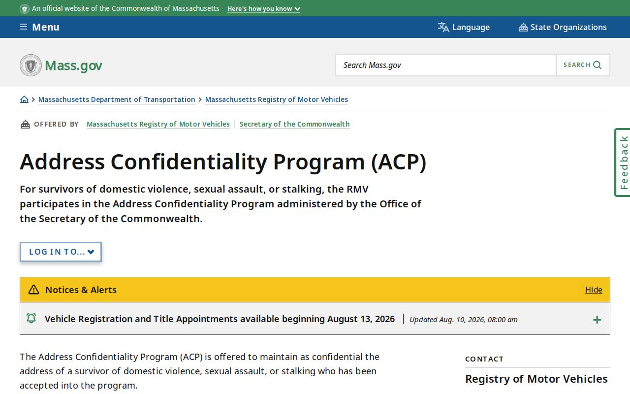
Do not seek or share an actual address that the program or another legal protection keeps confidential.
Lawful use. Use North Andover local records to understand a block, check a parcel, or research local history. Do not use any result to monitor, intimidate, harass, or harm another person.