
Tracing a North Andover Street Address
A North Andover street directory starts with the physical address, not a conclusion about a household. Use the address in MapGeo or WebPro, then note the parcel ID, situs, tax owner, and owner mailing address. The situs is the physical North Andover location. The mailing address is where tax notices go and can belong to an owner, trust, or business elsewhere. Those two fields can match, but the record does not promise that they do.
Build the street record one parcel at a time. MapGeo supplies the map relationship, WebPro supplies the card, and the registry supplies the land instrument. For a previous household, switch to the address section of a historical house guide, then verify the year with an alphabetical directory or other dated evidence. The Massachusetts voter-status form does not offer a street-wide search. The Town Clerk can explain annual-register inspection instead.
- Search the North Andover address or owner in WebPro and record the parcel ID, situs, and card date.
- Open the same parcel in MapGeo, then pan or click through the North Andover lots that share a boundary or face the street.
- Use the Northern Essex street or party index to open the likely deed and retain the grantor, grantee, date, and book/page or document number.
- Check the permit and planning route for a dated address record, recognizing that an applicant or contractor need not be an occupant.
- For older North Andover addresses, use house guides and directories, then compare a census, probate file, or obituary as needed.
North Andover Street Directory Assessor Fields
The North Andover Patriot Properties WebPro card is the municipal source for a parcel's tax context. Public guidance supports owner, address, and map-index or street browsing. A demonstrated North Andover card also carries parcel ID, location, owner name, owner mailing city, state and ZIP, neighborhood, land and building area, use code, assessment fields, sale price and date, grantor, and sketch or photo links. The exact dynamic labels on the current form were not exposed in the source material, so a search should be checked against the live page rather than assumed from an old screenshot.
The card has useful evidence but not a street roster. A current tax owner may be an entity, representative, or person receiving tax notices elsewhere. Assessment value is a fiscal valuation, not a sale conclusion. Search a North Andover street by the physical address, then retain the property-card facts separately from any later deed or directory evidence.
| WebPro element | Search type | North Andover use |
|---|---|---|
| Property Data tab | Portal section | Entry point described by the town's property guidance |
| Owner name | Search mode | Tax-owner lead for a North Andover parcel |
| Address or street | Search mode | Finds the situs address and property card |
| Map/lot or parcel ID | Search mode | Stable link across map and registry research |
| Owner mailing and situs | Result fields | Must be compared, never collapsed into one address |
The North Andover Assessing Department is at 120 Main Street and lists 978-688-9566 for questions about assessor records.
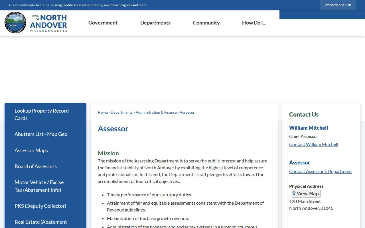
North Andover assessor staff and WebPro are the right first stops for a parcel card, while the deed registry supplies the recorded ownership trail.
North Andover Streets in MapGeo
North Andover MapGeo is the spatial companion to the property card. Quick Search may combine an owner name, street address, or property ID. The general MapGeo manual also describes attribute searches, spatial filters, result lists, property-information panels, related items, and downloads where a municipality enables them. North Andover configuration can vary, so treat optional controls as features to confirm on the live viewer. The core street method does not depend on a bulk export: select one parcel, inspect the panel, then click the next parcel.
MapGeo can show parcels, streets, zoning, conservation or wetland layers, flood or hazard context, districts, and town facilities when enabled. The viewer is especially useful on a North Andover street with irregular lots, condos, or subdivisions. Its data can be incomplete or delayed. Compare the shown parcel with WebPro and the recorded image before treating a map label as final.
North Andover Street Deed Index
The Northern Essex Registry of Deeds covers North Andover and begins with district records in September 1869. Its classic street instructions are unusually specific: enter only the street name and primary number, not a suffix such as Avenue or Street, a number range, or a unit suffix. Street data for deeds and conveyances is advertised from 1995 forward. Party, document, book/page, plan, and historic index-book searches can take the North Andover trail further back.
Open the document after a North Andover street result appears. Record the legal description, parties, instrument or book/page, and date. Then follow the prior reference and search the earlier owner in the appropriate direction. The electronic index is incomplete for many early records, even though historic index-book images cover periods from 1640 through 1978. A pre-1869 North Andover trail can lead into older Essex records in Salem or the State Archives.
The Northern Essex Registry information page identifies the district's North Andover coverage and public access route.
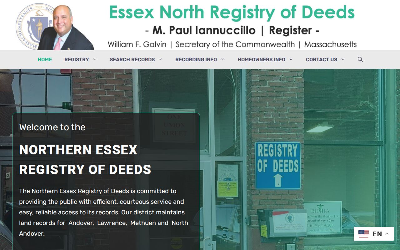
The North Andover street directory uses the registry for legal transfers, not as a substitute for a full title examination.
North Andover Address Names Before 1855
North Andover separated from Andover on April 7, 1855. Older street lists, church registers, directory titles, and deeds can therefore use Andover or North Parish for a place that is now North Andover. This is an address-continuity issue, not a reason to force an old entry into the modern town. Compare the date, plan, legal description, nearby landmark, and original title before rejecting a record as belonging to the wrong community.
The research did not locate an official year for a North Andover street-renumbering project. A change of number, subdivided lot, condominium unit, or old spelling is possible, but no particular renumbering year should be claimed without an Engineering or Historical Society source. A legal description and registry plan can bridge a number that does not work in a modern street search.
North Andover Street Directory Record Coverage
North Andover street records are strongest when read as a chain. The assessor card gives the local parcel and tax-owner context. MapGeo shows placement and adjacent parcels. The registry names recorded parties and legal descriptions. Permit files show a dated project or application. House guides identify a past occupant at a number. Each line answers a narrower question than “who lives here,” and a North Andover street directory should preserve that distinction.
| Record Set | Keeper | What It Shows | Access |
|---|---|---|---|
| Assessor card | North Andover Assessors | Parcel, owner, mailing/situs, values, sale clues | WebPro or office |
| GIS parcel viewer | Town GIS/Engineering | Parcel geometry, nearby lots, layers, property link | MapGeo with disclaimer |
| Deed index and image | Northern Essex Registry | Grantor, grantee, dates, legal description, plans | Online district search |
| Permit record | Building and town departments | Work, applicant, contractor, status, inspection details | OpenGov login or RAO archive |
| House guide | State Library and local collections | Historical occupant by address | Selected 1928–1953 runs |
A parcel ID, plan, or legal description is a more durable North Andover bridge than an address alone. Streets can be spelled differently in older sources, a new lot can receive a new number, and owner mailing data can point out of town. The individual voter-status form is not a street list. Ask the Town Clerk about public annual-register procedures rather than assuming a North Andover street can be browsed through the state form.
North Andover Permits by Address
Permits can add a dated North Andover street record after the parcel is identified. The town's permit hub directs users to OpenGov and requires a login. Depending on the category and permissions, a result may carry permit number, type, property address, applicant, contractor, status, issue or close date, inspection, fee, and associated documents. The Building Department handles projects such as additions, alterations, pools, chimneys, signs, and other construction. Planning, Health, Conservation, and Public Works may hold related address records.
A permit applicant need not own or occupy the North Andover property. Use the role label and date. For older cards, closed permits, code matters, or a specific inspection history, send the Town Records Access Officer a reasonable description with an address and date range. The town may narrow the request, provide a fee estimate, or identify a separate custodian.
North Andover House Guides by Street
Historical house guides are the reverse layer of the North Andover street directory. Instead of beginning with a surname, locate the street and number, transcribe the occupants listed there, then find each name in the alphabetical section for occupation, spouse, or business context. The Massachusetts State Library identifies selected North Andover and combined Andover/North Andover directories with house guides from 1928 through 1953. These volumes can reveal a dated street pattern that a current property card cannot.
Entries are snapshots. A directory may be compiled months before printing, omit a household, or use a number that predates a subdivision. Pair the volume with a later or earlier directory, a census, a deed, or an obituary. The full collection years and entry-reading method are in the North Andover directory book.
North Andover Street Terms Explained
Street research becomes more reliable when the label on each North Andover record stays intact. These terms help keep map, tax, and historical directory facts from being merged too soon.
- Parcel
- The tax-property unit shown on a North Andover card and GIS map.
- Situs address
- The physical North Andover address for that parcel.
- Plat or plan
- A recorded map that can locate a lot, subdivision, or street layout.
- Legal description
- The deed-based land description that can survive a changed street number.
- Criss-cross directory
- An address-to-occupant historical directory, also called a house guide.
North Andover Voters by Street
M.G.L. c. 51, section 37 provides for annual-register information, including voter residences, but protected names are omitted. The Secretary's online form requires a first name, last name, full date of birth, and five-digit residential ZIP, plus an individual-use acknowledgment. It does not expose street browsing. North Andover street research should not use a status tool to attempt to enumerate a block or infer who participates in an election.
The North Andover Town Clerk can explain annual-register inspection, inactive-list status, correction steps, and local election administration. Eligible voters are only one portion of residents on a street. Children, nonvoters, protected voters, and people who move frequently may not be represented in a public voter source.
North Andover Street Directory Limits
A North Andover street directory cannot establish every person at an address. Tax cards identify an owner or owner mailing record. Deeds identify parties to a land transaction. Permits identify people connected to work. Historical directories identify a past printed entry. None of those sources is a full, current household list. Renters, household members, private utility customers, delivery information, DMV addresses, protected voters, ACP participants, and sealed court information are deliberate limits.
Massachusetts Address Confidentiality Program participants use a substitute address in state and local records except for defined statutory or administrative needs. Voters with the required court, shelter, or police evidence may be suppressed from the annual register. MapGeo and the assessor also carry accuracy and timeliness caveats. Confirm the relevant North Andover record with its custodian before relying on it.
Lawful use. North Andover street and address records support personal, lawful research. They do not permit stalking, harassment, threats, or efforts to expose a protected address. Massachusetts stalking law includes prohibited conduct through electronic communications.